
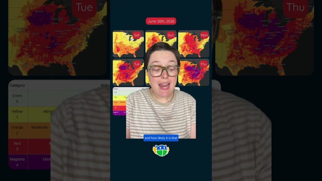
Heat Risk Map: What is it? #weather #meteorology #heatwave
This is the National Weather Service’s Hear Risk map. It shows when and where high temperatures are more likely to cause heat related illness like heat stroke and heat exhaustion. Next week millions of Americans will be under extreme heat risk as temperatures soar into the 90s and 100s.
3件のコメント
I have been watching the heat domes travel past and hitting the east coast.
Do you have recommendations as to where to find one for the west coast?
here its a tropical country more on body of water thats why more on rain here last summer the highest heat index is 46°c to 37°c